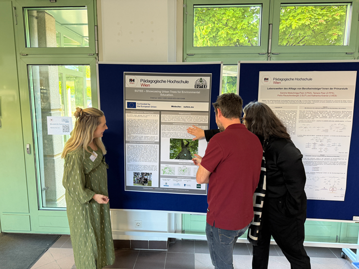
Showcasing Urban Trees for Environmental Education with IoT Technology. SUTEE is an ERASMUS+ Strategic Cooperation Partnership in the field of school education project.
Madrid’s Sky High Mission: Using a Helicopter to Map the City’s Heat Islands
On
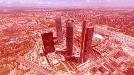
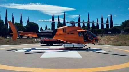
In a groundbreaking initiative, Madrid has launched an ambitious project to tackle the urban heat island effect by creating its first detailed thermal map. The city is the first in Europe to employ such an approach, with a helicopter flying as low as 1,000 feet (300 meters) over the metropolitan area, capturing high-resolution images. This effort is part of a larger urban strategy to create a 3D digital twin of Madrid, which will provide critical data for energy efficiency and city planning initiatives.
The helicopter, in operation since July 11, 2024, is equipped with cutting-edge radiometric sensors capable of detecting subtle temperature variations across the city. This technology will generate highly detailed thermographic images, which will help pinpoint areas most affected by heat. The project is not just about monitoring public spaces but also collecting data from within city blocks and on the rooftops of buildings. The ultimate goal is to map 337 square kilometers of the city’s 607-square-kilometer urban area.
This mapping effort is a collaboration between the Madrid City Council and Innoviland Solutions, and it represents a significant technological leap for the city. The data will be made publicly available via Madrid’s Geoportal, offering valuable insights for city officials and citizens alike. The detailed heat map will also guide decisions on how to mitigate heat through urban design, such as increasing green spaces, improving ventilation, or upgrading building materials.